
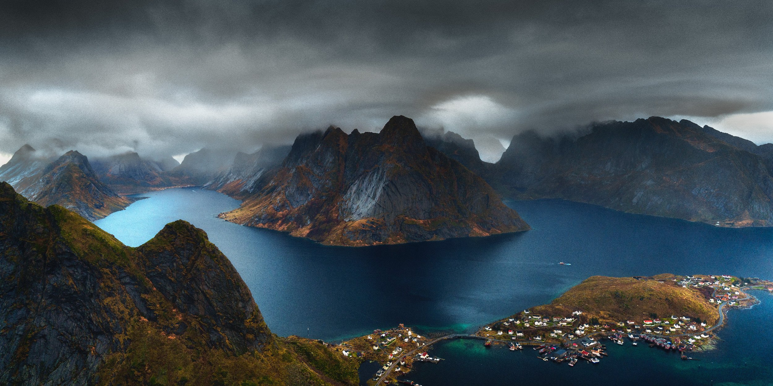
Lofoten Photography Guide: 17 Locations Down One Arctic Road
Where to shoot the Lofoten Islands, when the light works, and how to get there. Free to start, built from cold dawns and wrong turns.
Taking your camera to Lofoten? I’ve written an e-book and created an interactive map to make sure you get the most out of your Norway adventure.
Free Guide
- Locations3
- Written write-upsYes (3)
- Planning chaptersTaster
- GPS pins and KMZNo
- Interactive map3-pin
Full Guide
- Locations17
- Written write-upsYes (17)
- Planning chaptersFull
- GPS pins and KMZNo
- Interactive mapOverview
Location Map
- Locations17 (90+ pins)
- Written write-upsNo
- Planning chaptersNo
- GPS pins and KMZYes
- Interactive mapFull live map
Guide + Map
- Locations17 (90+ pins)
- Written write-upsYes (17)
- Planning chaptersFull
- GPS pins and KMZYes
- Interactive mapFull live map
£24.98
If you’re not quite ready to commit, download the free e-book. It has 3 photo spots and includes a sample of the location map so you can ‘try before you buy’! If you are ready, you can either get the map, the e-book or save some buying them both at the same time!
Why This guide
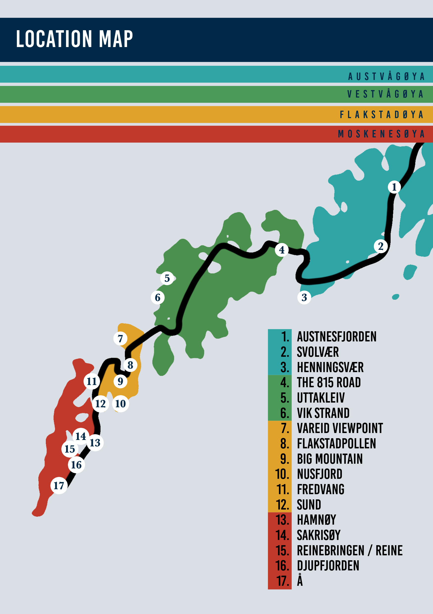
Ordered for the drive
Seventeen locations run north to south along the E10, so the guide doubles as your route.
No burning a dawn driving the wrong way, I did that so you don't have to.
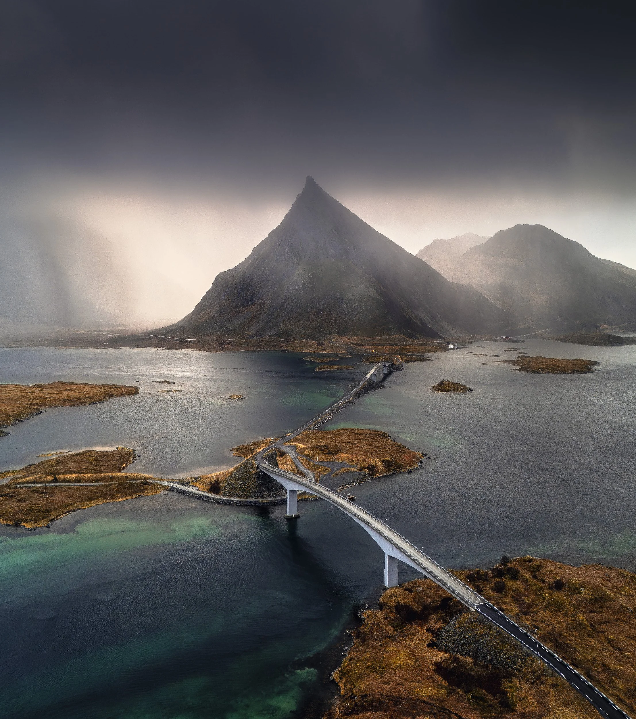
Light as the protagonist
Season and light worked out for 68.1 degrees north, from the polar-night aurora to the
midnight sun, so you are standing in the right place when it actually happens.
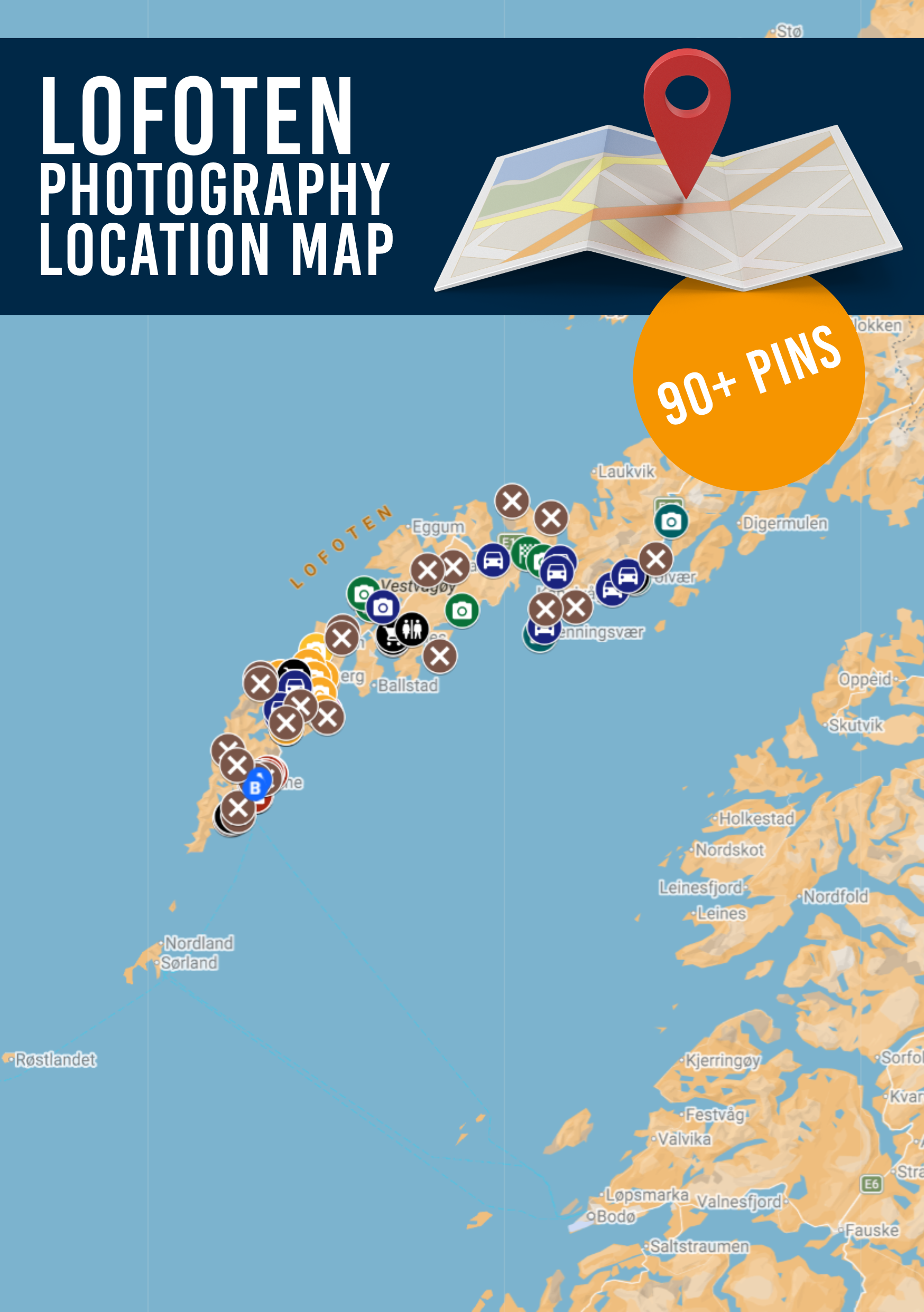
The exact spot
A companion map with over 90 GPS pins and an offline KMZ, numbered to match the guide, so
you find the tripod hole in the dark rather than the pull-off half a mile past it.
-
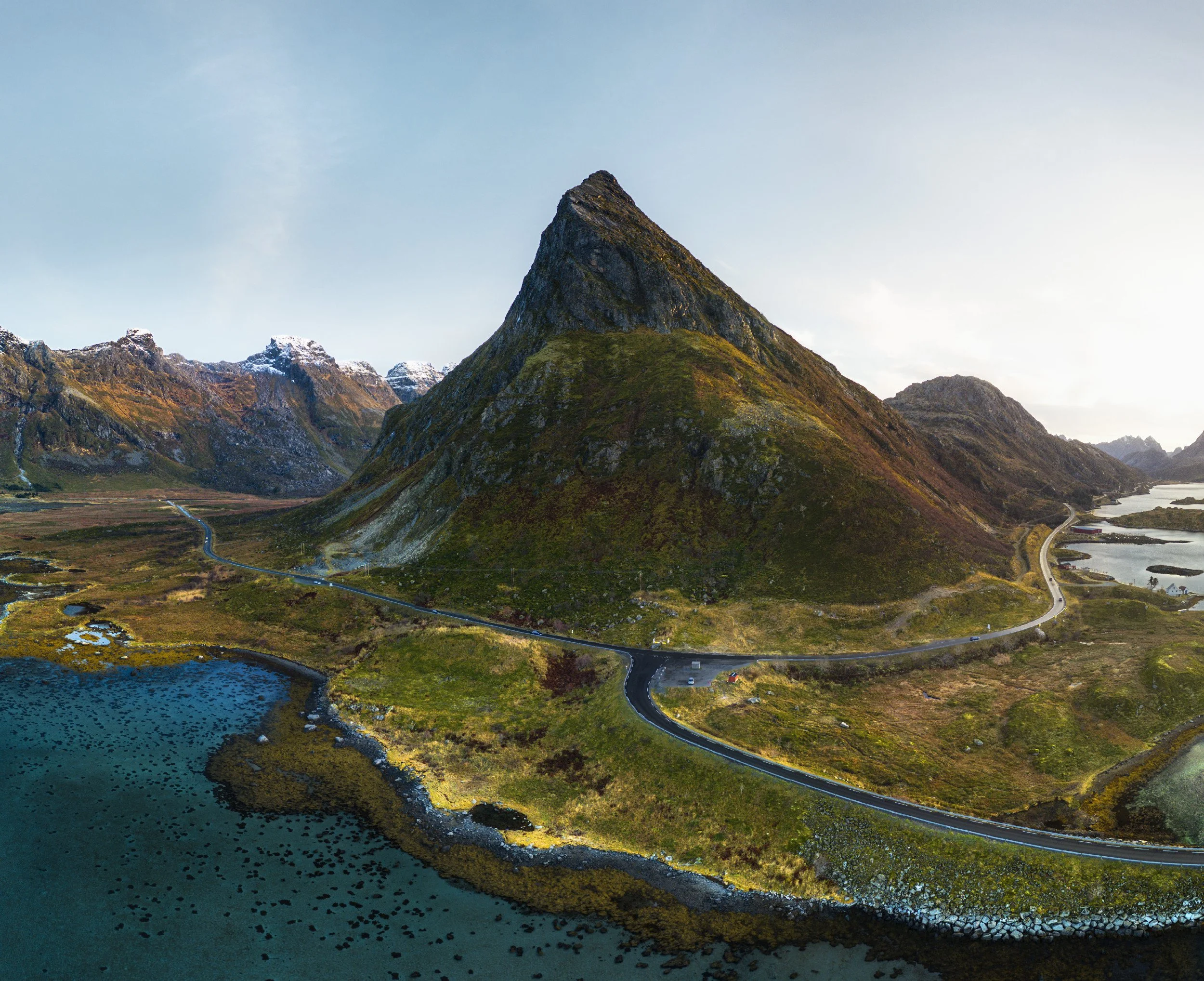
![A valley with a prominent mountain peak in the center, surrounded by smaller mountains with snow on their tops, a river winding through the landscape, and a road with a few vehicles.]()
Fredvang
-
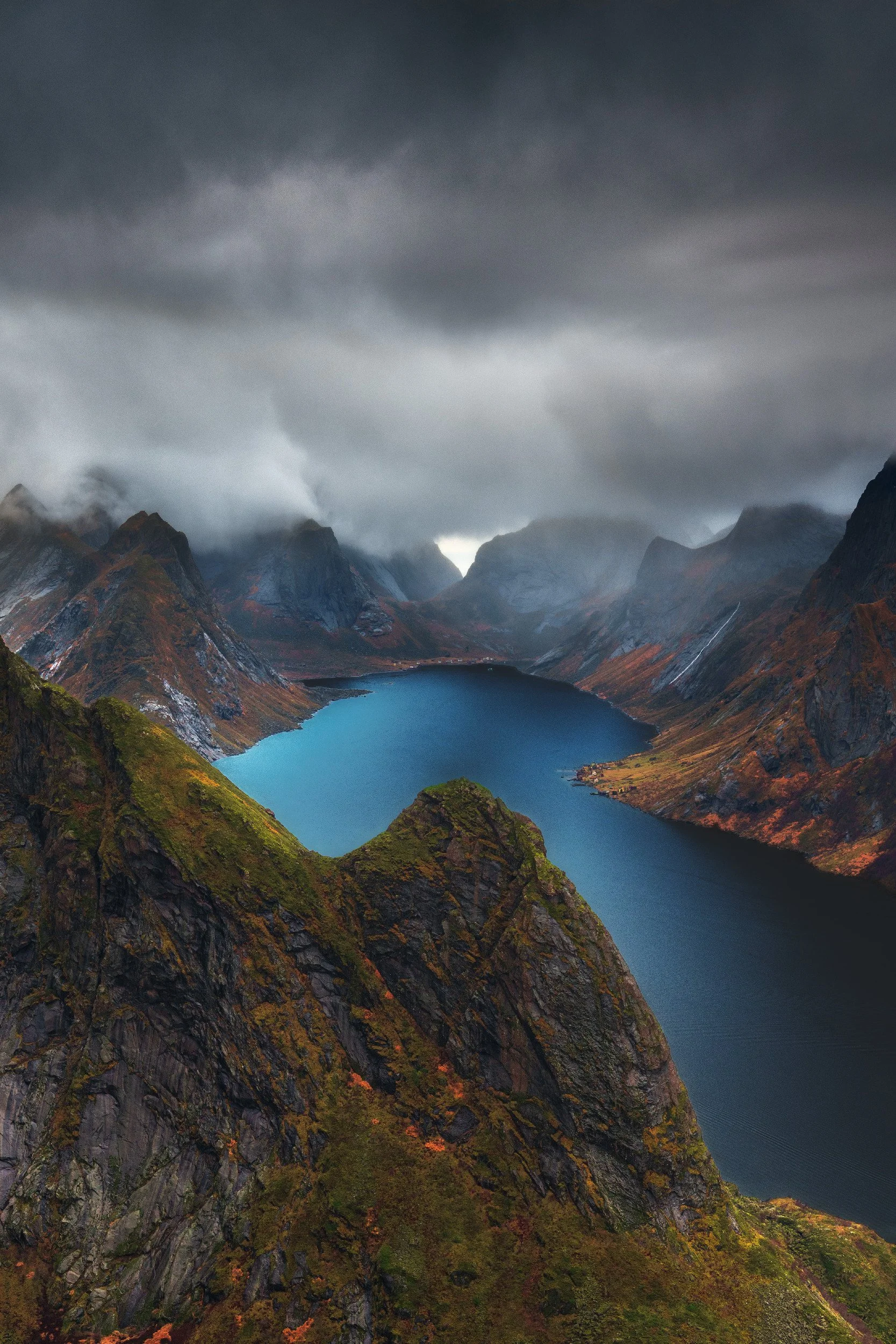
![A mountain landscape with dark cloudy skies, rugged mountains, a blue lake, and autumn foliage on the slopes.]()
Reinebringen
-
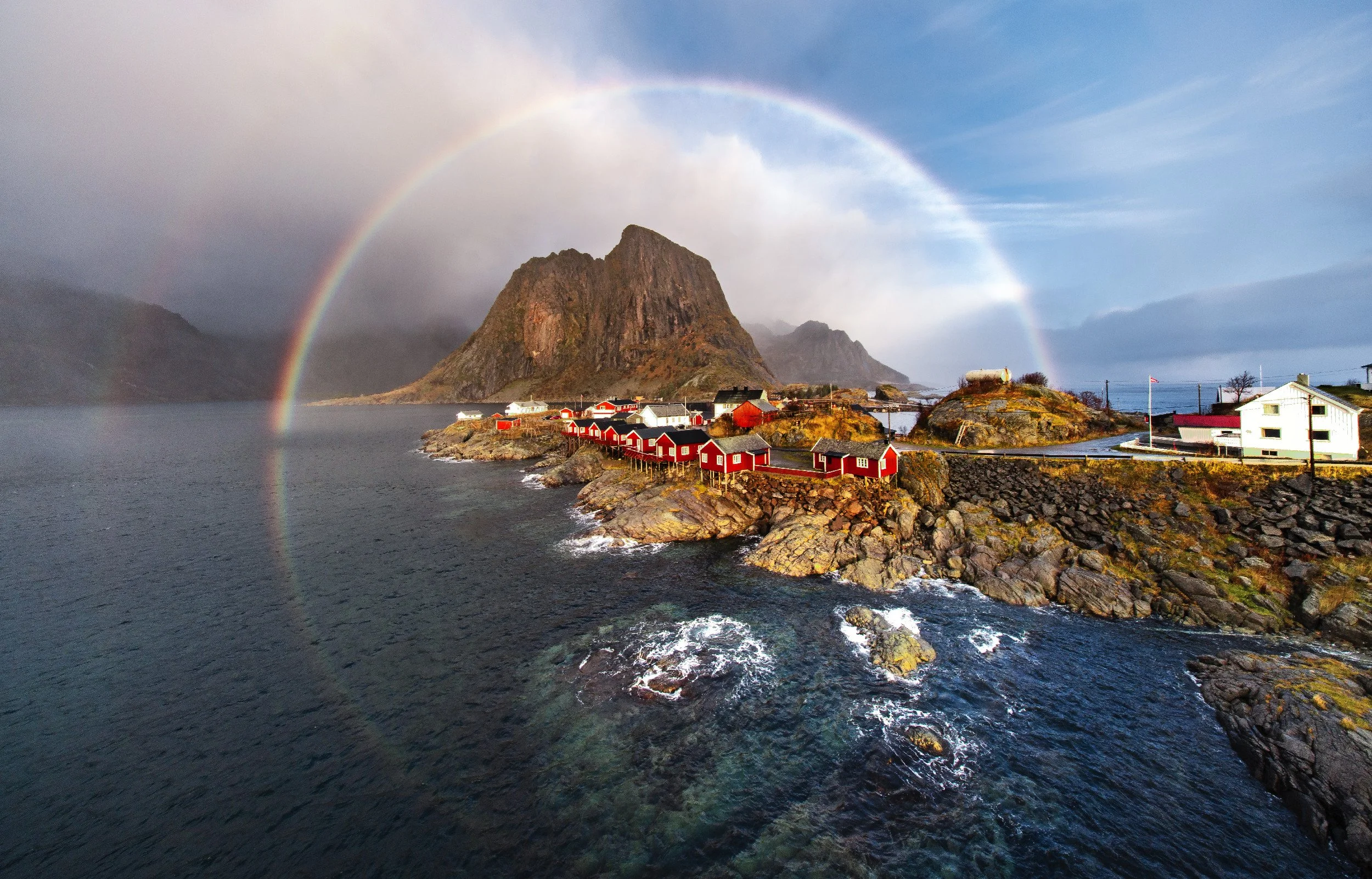
![Hamnøy]()
Hamnøy
-
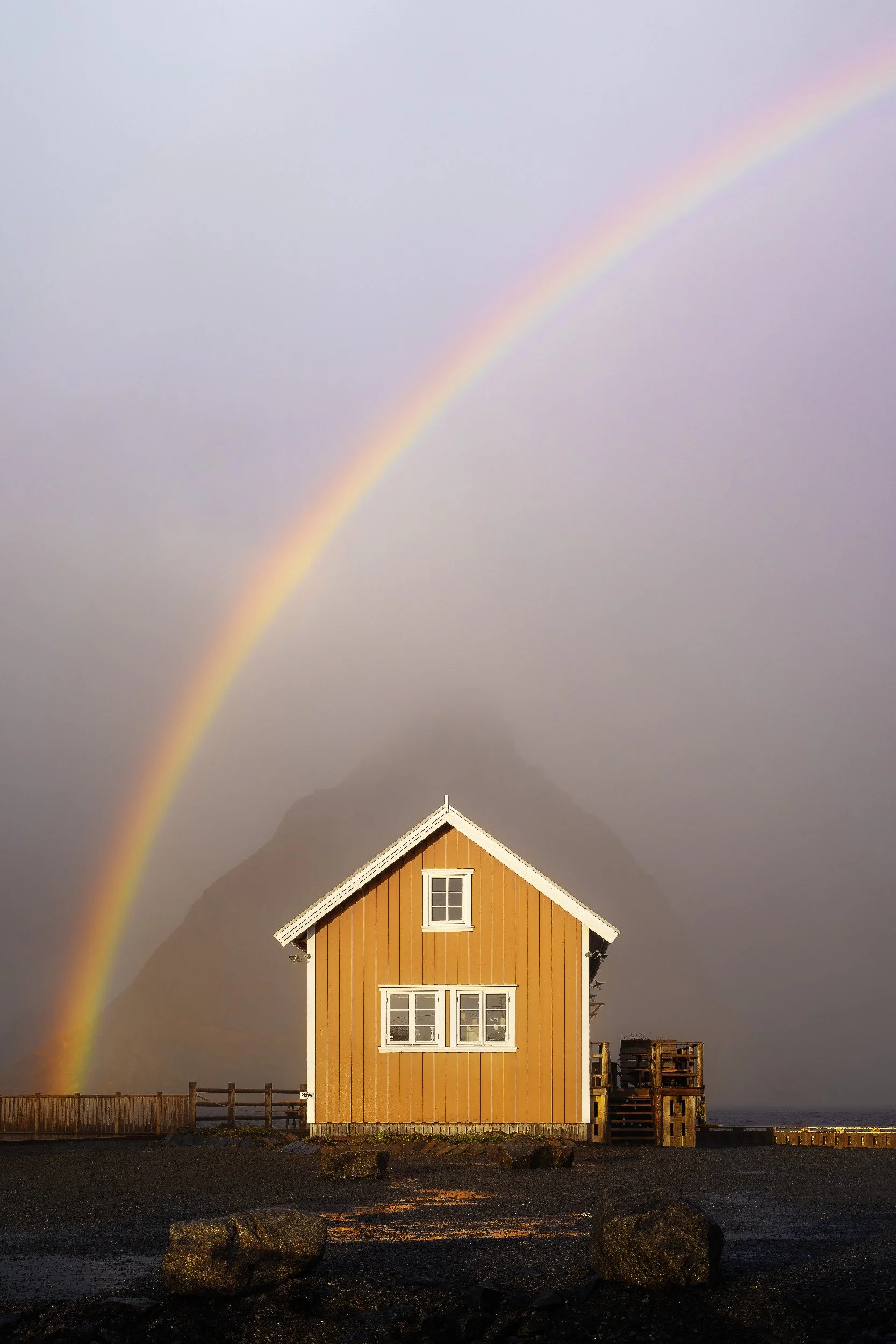
![A yellow wooden house with white trim and multiple windows, situated on a concrete surface near a body of water, with rocks in the foreground, a fence, and a rainbow in the cloudy sky.]()
The Yellow Hut
-
![Vareid Viewpoint]()
Vareid Viewpoint
-
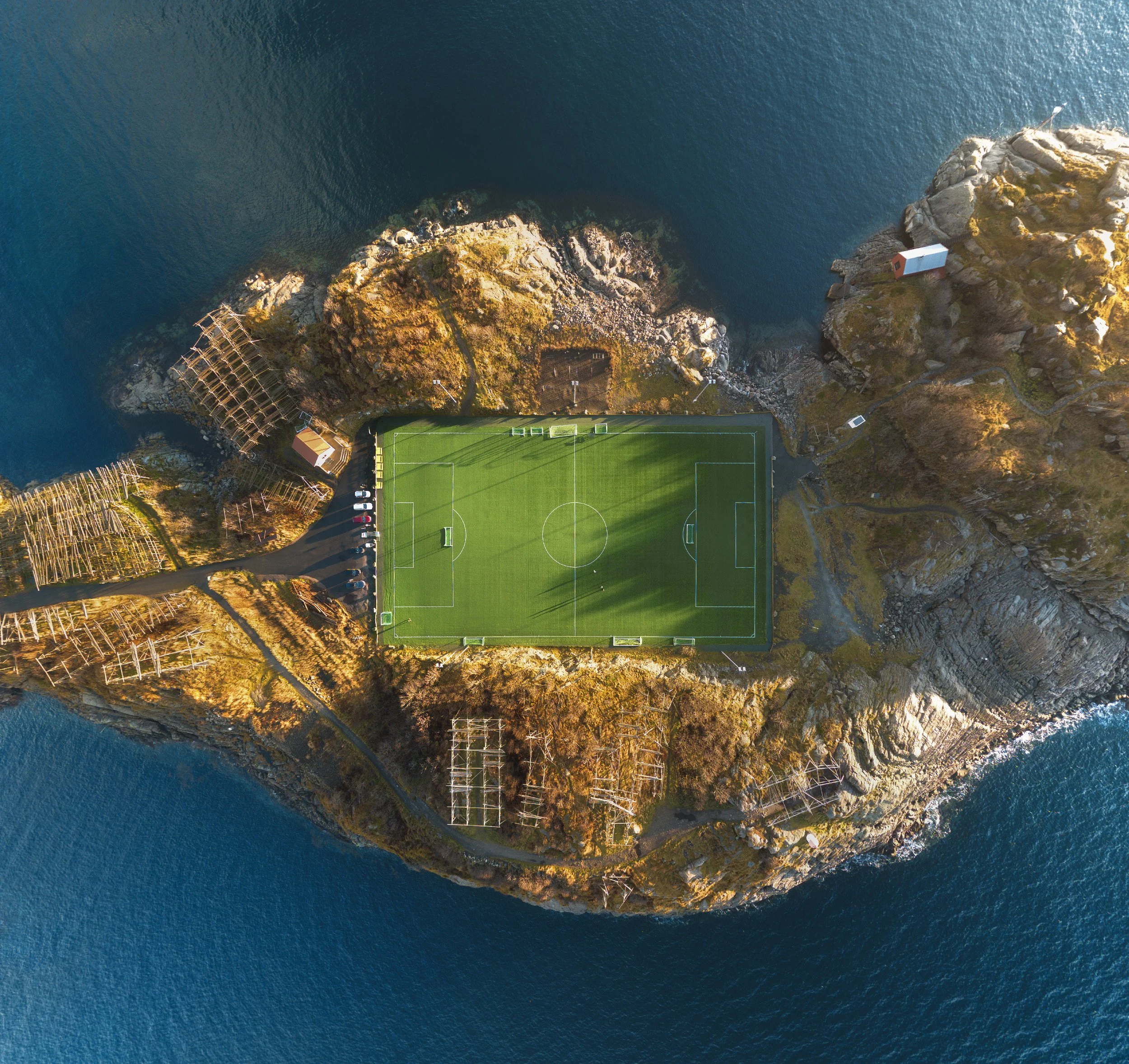
![A scenic aerial view of a coastal area with a soccer field at the bottom, rugged cliffs, and blue ocean water surrounding the landscape.]()
Henningsvær
-
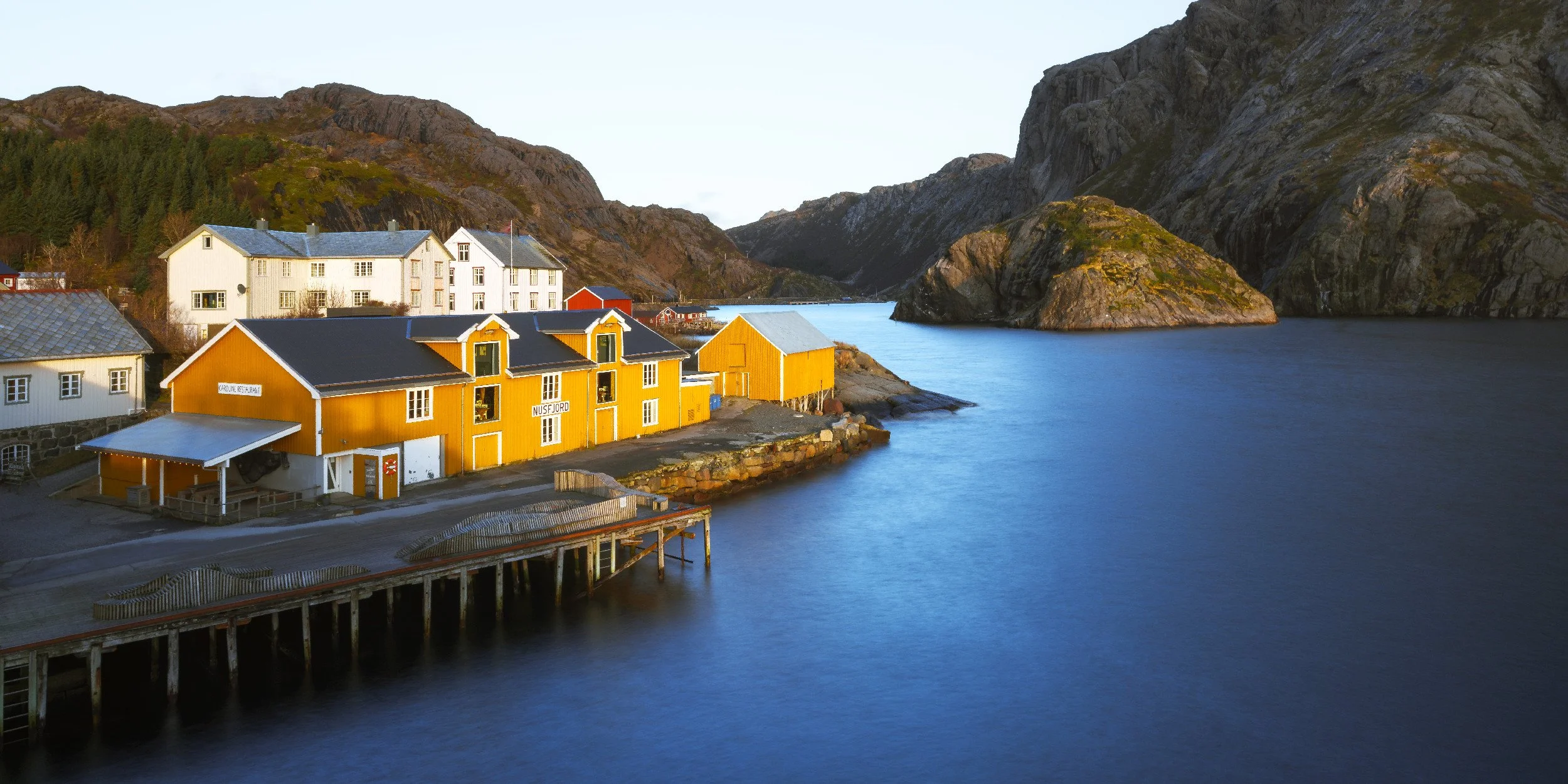
![Colorful buildings by a calm body of water surrounded by mountainous terrain.]()
Nusfjord
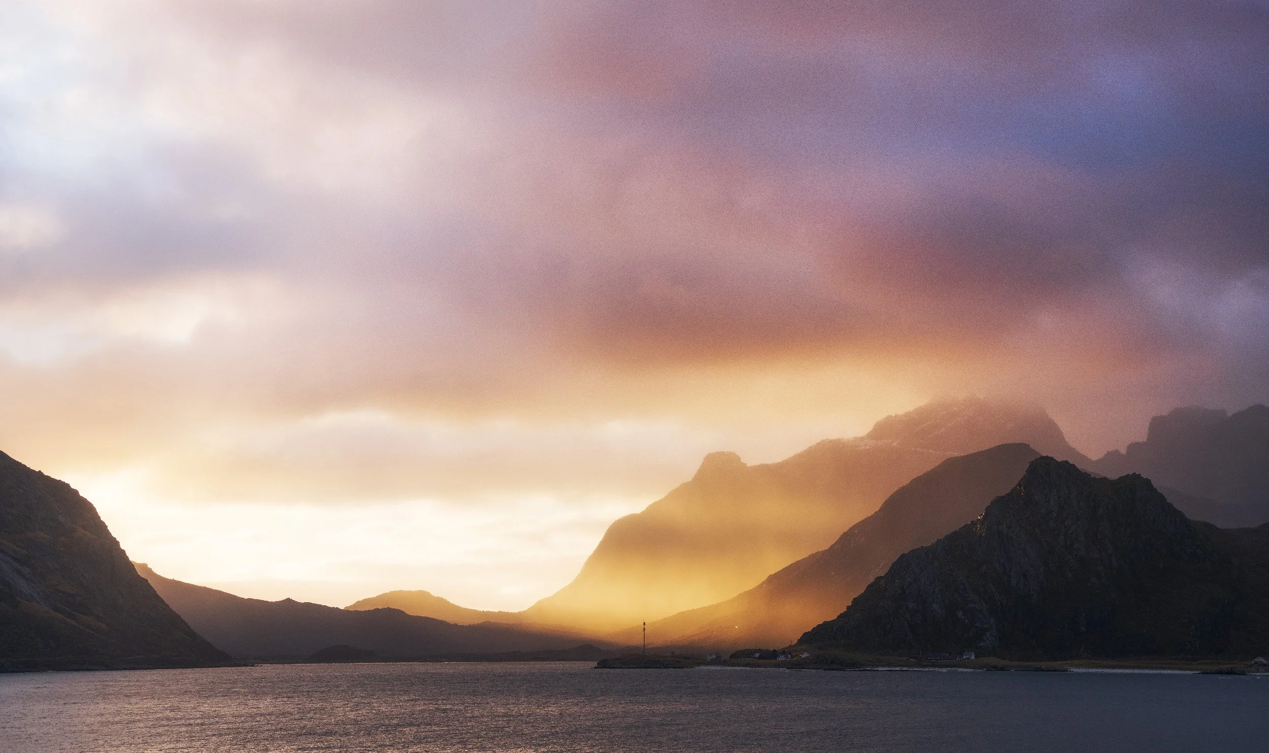
When is the best time to photograph Lofoten?
There are really two seasons worth planning around. Winter, roughly late January to March, brings snow on the peaks and the northern lights, along with short days and roads that demand respect. Summer, late May to July, gives you the midnight sun and light that never quite leaves, which is a gift and a curse when you also need to sleep. The full guide breaks down what each location gives you in each season, so you plan the trip around the light rather than hoping.
Getting around the islands
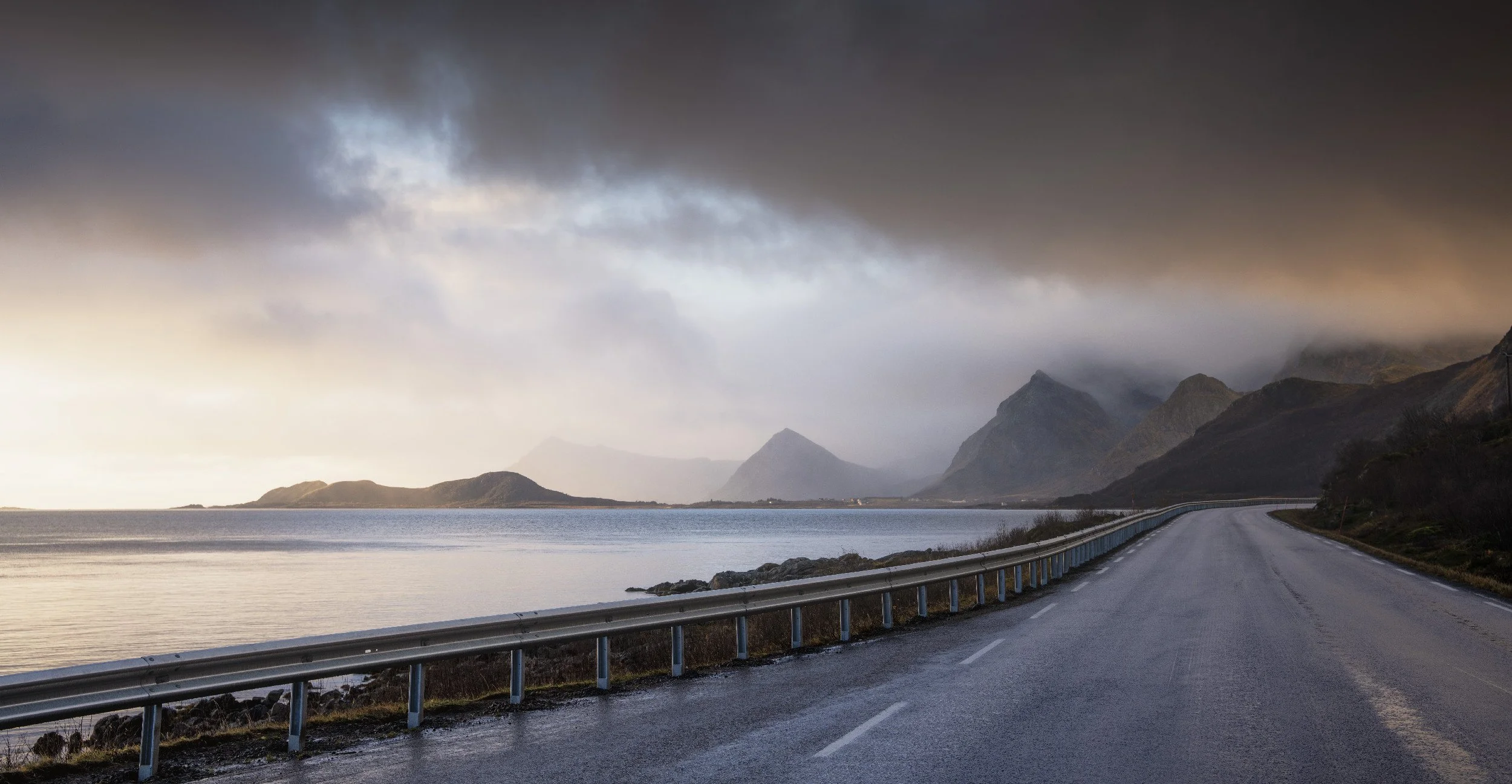
Everything strings along the E10, the road that threads the archipelago north to south. You do not need a 4x4 in summer, and in winter you need winter tyres and a bit of patience more than a big engine. The guide covers getting there, what to pack, and how to chase the aurora without wrapping the hire car around a snow pole.
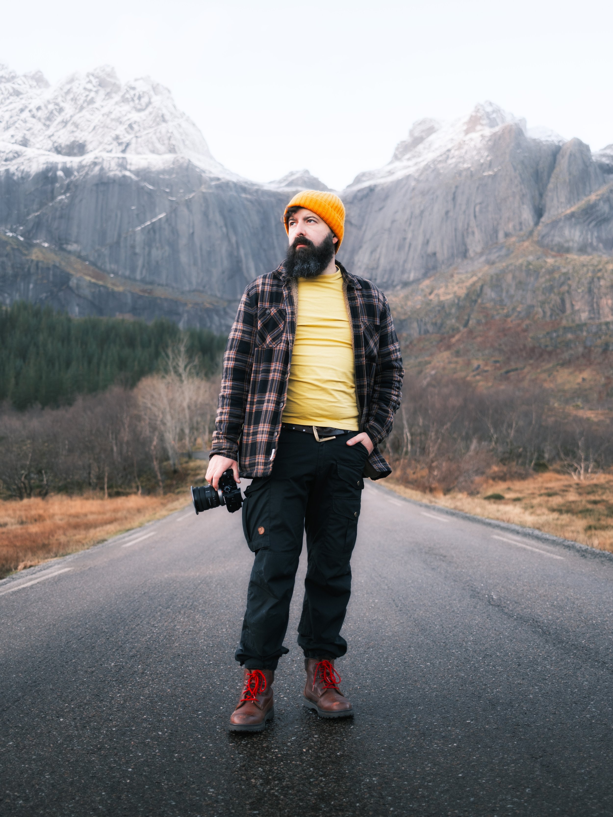
Who’s behind the guide
I'm Tony, a landscape photographer from the UK. I shoot it, I film it for YouTube, and every so often I stand in a fjord in the dark wondering why. This guide is the distilled version of more than one trip to Lofoten, written so yours goes better than my first one did. If you want to see the places in motion before you buy, most of them are on the channel.
Frequently Asked Questions
-
Winter (late January to March) for the aurora and snow, summer (late May to July) for the midnight sun. The guide covers both.
-
Not in summer. In winter, winter tyres and patience matter more than four-wheel drive.
-
Free covers 3 locations. The full guide covers 17 along the E10, plus planning chapters. The map is a separate GPS layer.
-
Both. It's about where and when, not which button to press, so it helps whatever camera you carry.
-
Instant PDF after checkout, readable on any device. The map is a live Google map plus an offline KMZ.